Site investigation is a critical aspect of Resource Assessments, providing important information about the geological and geotechnical properties of a site.
Site investigation is typically carried out in several stages, including a preliminary investigation, a site reconnaissance, and a detailed investigation. The type and scope of the investigation will depend on the size and complexity of the project, as well as the level of risk associated with the site conditions.
BCA Consulting offers comprehensive site investigation, employing a range of methodologies to gather crucial data and insights. These services include but are not limited to:
desk top Studies – in depth analysis of existing data, literature, and records to inform the investigation process.
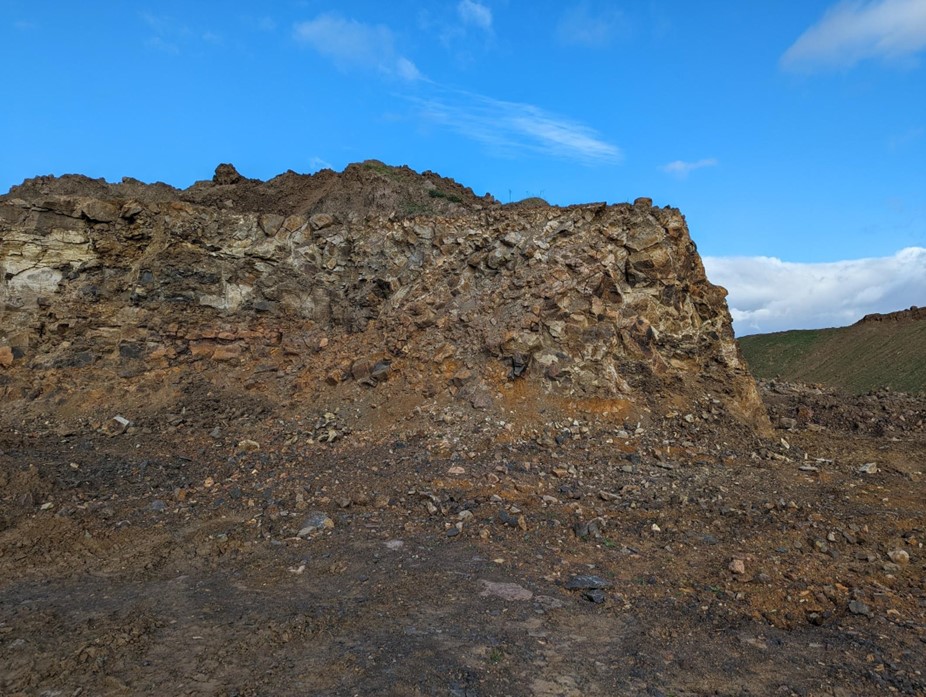
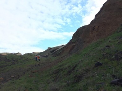
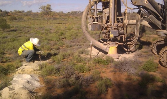
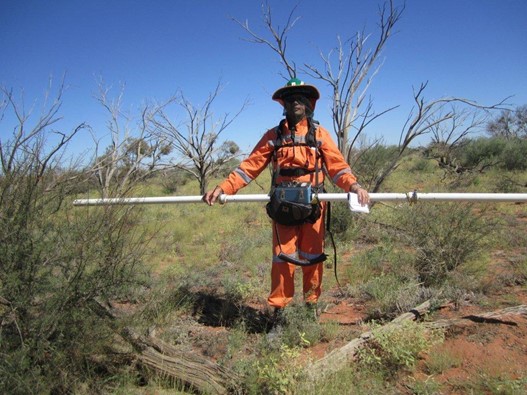
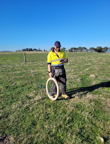
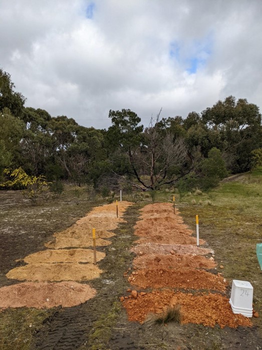
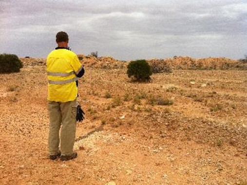
field mapping – on-site assessment and mapping to document geological features, environmental conditions, and other relevant factors.
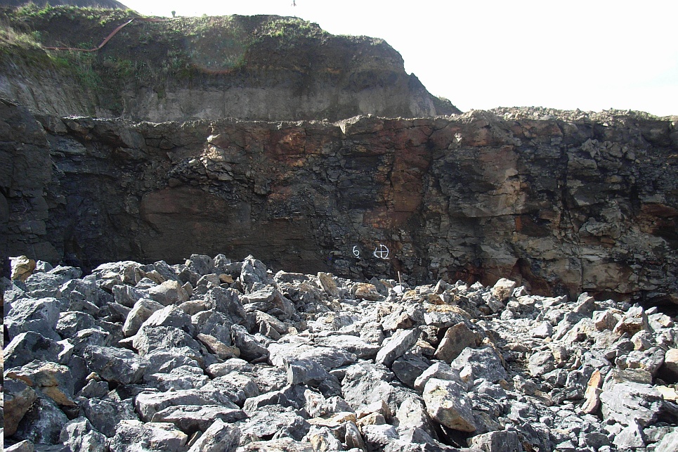
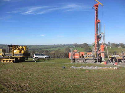
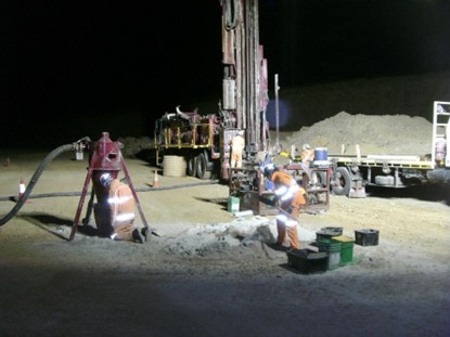
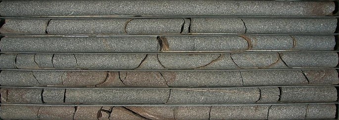
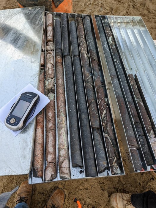
Drilling – Implementing drilling programs to identify, quantify, and characterised construction material to maximise data collection for the site, collection of samples and material interpretation of samples. expertise in various drilling methods, such as diamond drilling, RC percussion, hammer core, bucket auger, air core and trenching.
Conductivity survey – utilisation of ground conductivity survey to assess subsurface characteristics and aid in the geological interpretation of the sites.
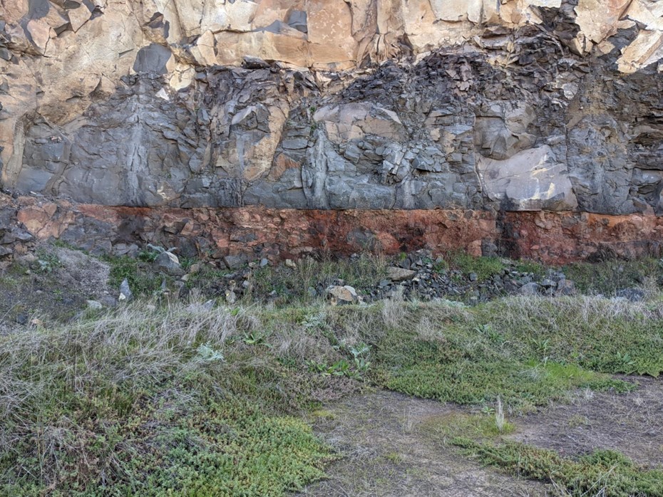
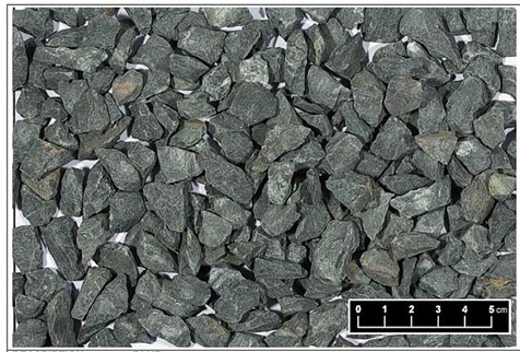
Sample and core logging and photographic analysis – Classification of source materials based on their geological characteristics, geological study and recording of samples. Visual identification of construction materials, supported by high quality photography for documentation.
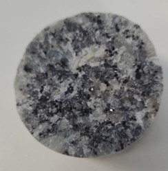
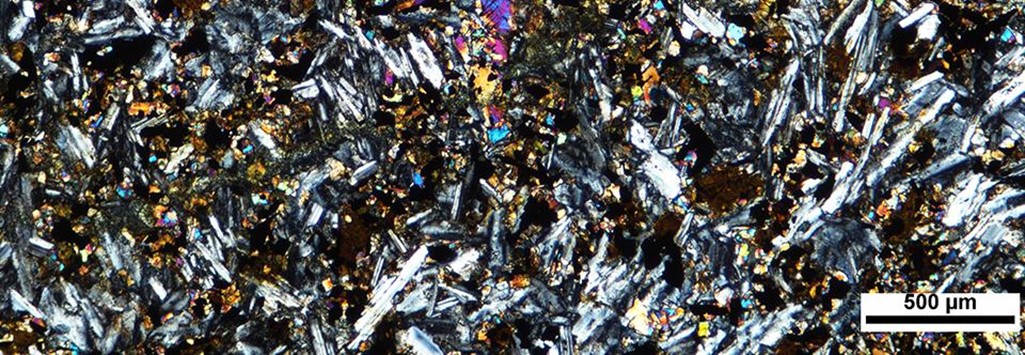
Petrographic analysis – detailed examination of construction materials using petrographic techniques to understand mineral composition and structure, this includes analysis of secondary mineral present in material
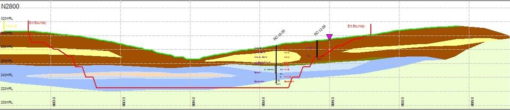
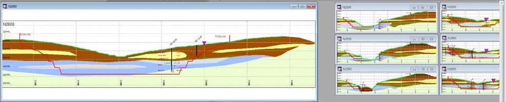
Geological cross-section – visual representation of geological findings, utilising geological modelling techniques to create accurate representations of subsurface structures and resource distributions.
Volume estimates using geo modelling – Accurate estimation of both resources and reserves, utilising industry-standard methodologies for reliable assessments..
JORC Compliant Reporting – Compliance with the Joint Ore Reserve Committee (JORC) reporting standards, ensuring transparency and credibility in resource reporting.
WA & Extraction Boundary Pegging (Site Mark Out) – Precise pegging and marking out of Work Authority, extraction boundaries and stage boundaries in compliance with regulations.